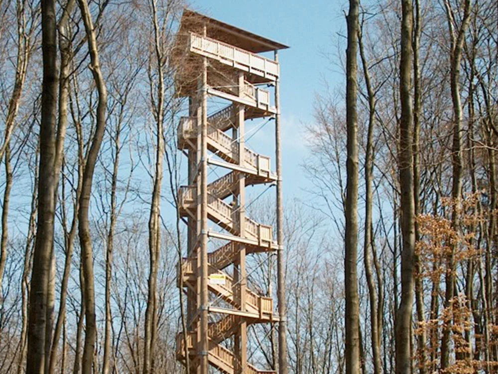
Note: The info platform is unfortunately closed until further notice! Hätten Sie gewusst, dass sich im gesamten Gebiet der Eifel mehr als hundert vulkanische Erhebungen zählen lassen?
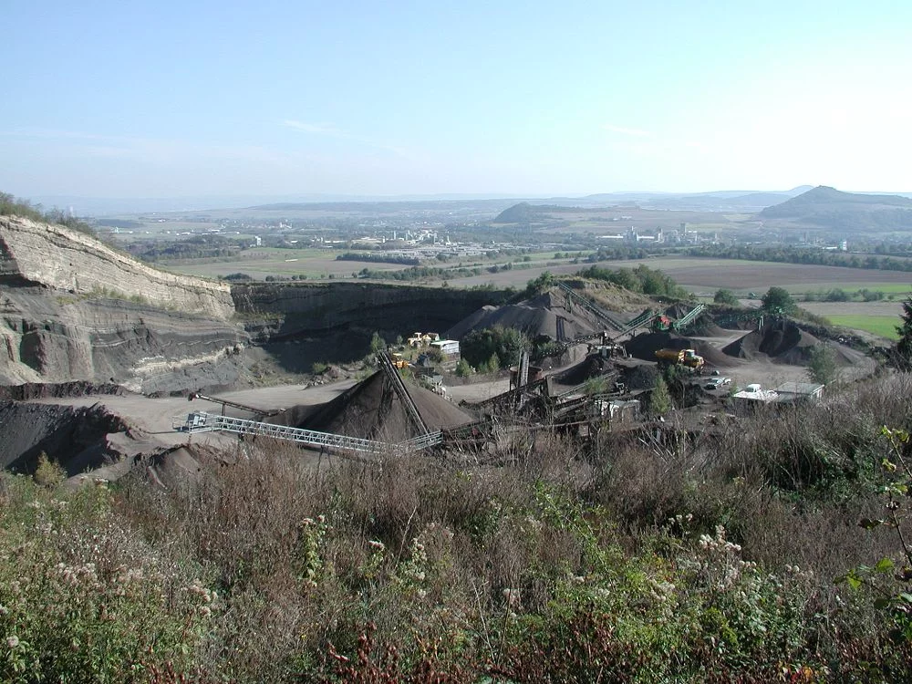
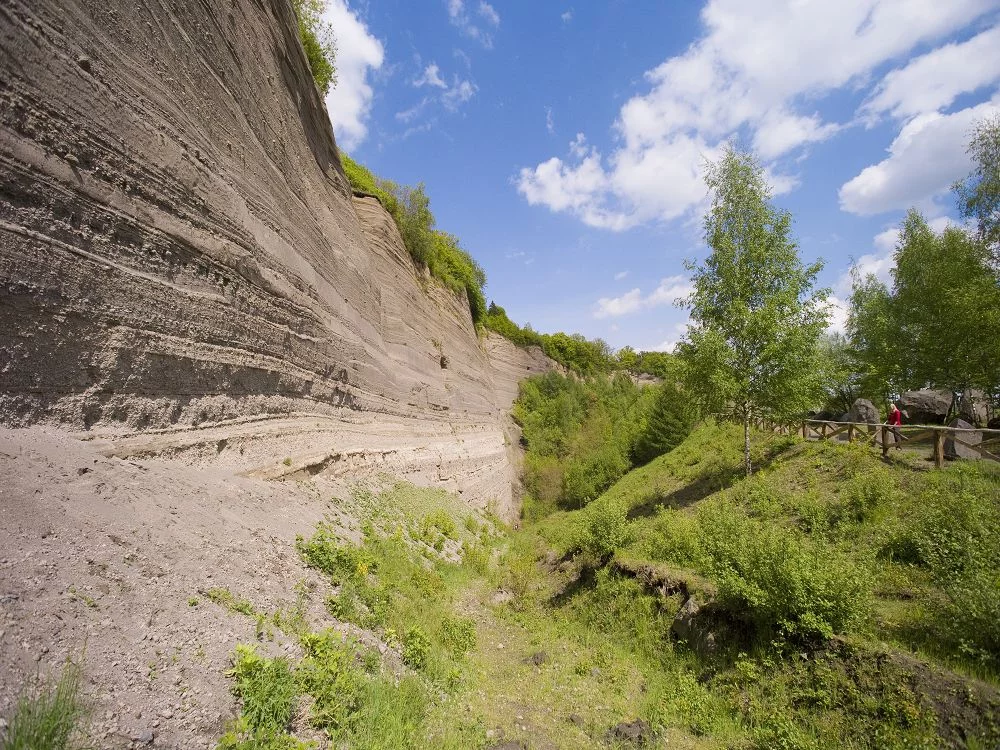
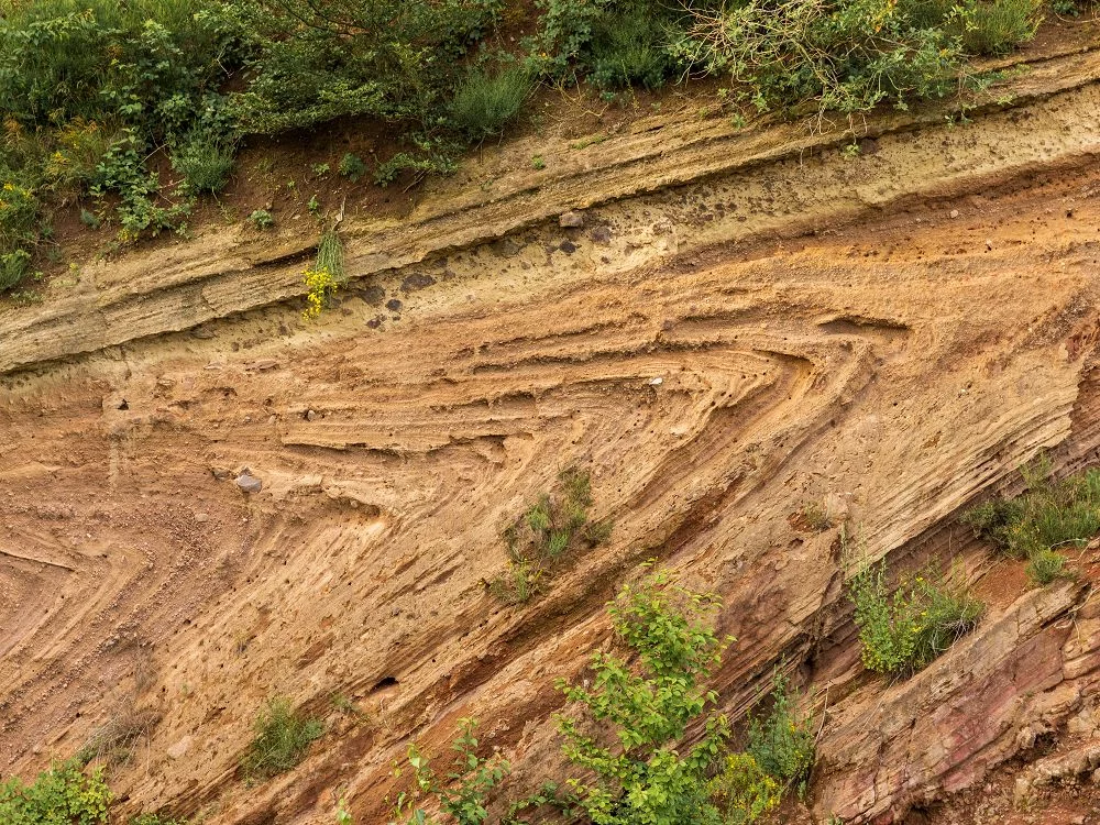
The Hohe Acht (747 meters) and the Ernstberg (699 meters) rise the highest above the land surface. The “Vulcano-Infoplattform” observation tower offers a magnificent panorama. What we see today as a flat high plateau is the remains of a mountain range that was once raised and folded by the mighty forces of the earth. But even a mountain range does not last forever; millions of years have worn away at it, leaving only a plateau. Then came the time of the new peaks - the pushing together and folding up of the Alps also caused unrest in the Eifel: fault zones were created in the earth's crust where magma could rise. Volcanoes in the Eifel formed over the old mountain rump.
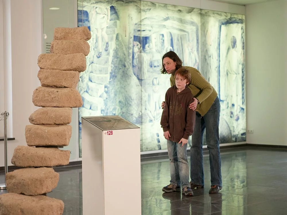
In two major phases, volcanic phenomena sifted through the Eifel and left behind tuffs, basalts and ashes, which we find today as elevations in the landscape. The basalt of the Steineberger Ley, on which the Volcano Info Platform stands, is also the remnant of a volcanic vent that boldly sat on top of the ancient mountain range.
